Well Lockdown3 is put into play, I have to stay local and all pubs are shut! Well F*ck you Lockdown, even though Boris seems to not want anyone to enjoy themselves, I am! So a walk from my front door, drinking my Homebrew enroute. F*ck you Boris! :D All within the rules and regulations of course!
So I walk up my road and into a local park and follow the River Rom, crossing over Bacon Link and continue to follow the river until I reach Cornell Way. A chilly one today zero Celsius this morning.

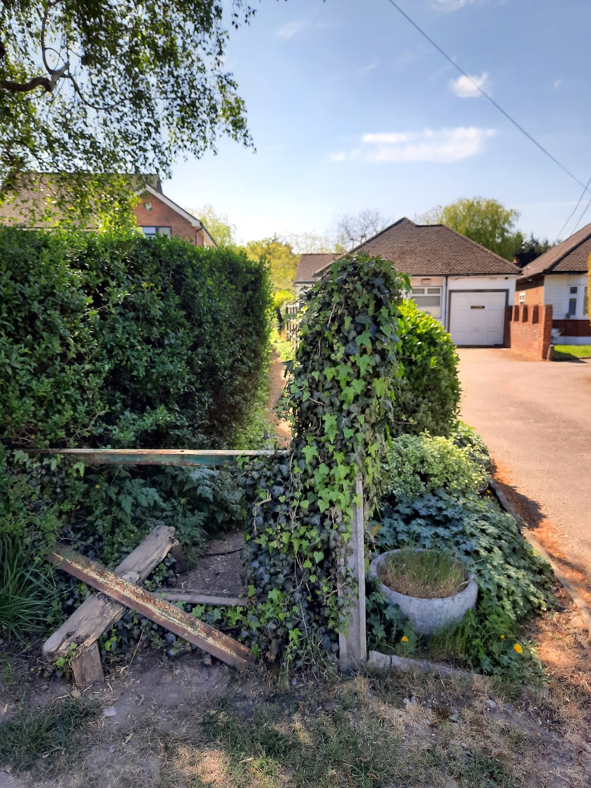
I walk into Cornell Way and down another road that leads out into Countryside.

I turnt right to follow a path to Havering Country Park, I walked a short way up a very muddy path before the path was covered in water. It was far too deep to walk through, so I turned back and I'd do the walk in reverse.
I walked up along a path at the end of Lodge Lane, before picking up the London Loop path that'll lead me to Hainault Golf Course and over into Hainault Forest.

After walking along paths, I reach Hainault Golf Course. At least I have no fear of being hit by a stray golf ball today as the course is shut because of the lockdown.

I leave the golf course and start uphill, this is warming me up!
I am now walking through Hainault Forest.
Though it initially comprised at least 17,000 acres, Hainault Forest was only a section of the huge ancient Forest of Essex, which had covered nearly all of that county for centuries. Hainault Forest was a royal forest which was therefore subject to "forest law" which dated back to the reign of King Canute (1017-1035). It was a royal hunting ground, the use of which was reserved for the sole pleasure of the king. The forest was kept stocked with game which were supervised and managed by officers of the king. Over the centuries, the name of the forest has been given as Hyneholt, Hineholt, Inholt, Henholt, and Heynault. By 1720, it was most usually known as Hainault. The Saxon term "Héan holt," meaning the high wood.

However, despite its royal designation, certain considerations were granted to those who lived on the perimeter of the forest. Common people who were willing to pay a small fee were allowed to pasture their horses, cattle, and sheep in the forest.
In addition to those animals which could legally graze in the forest, there were also a number of different wild animals which inhabited the wood. Through the eighteenth century, a stag was released in Hainault Forest every Easter Monday for a stag hunt which was popular with hunting gentlemen in the vicinity of London, but that practice was discontinued in 1807. Fallow deer, the descendants of those hunted by earlier monarchs, still roamed the forest during the years of the Regency. The wolves and wild cats of old were gone by the early nineteenth century, but foxes, martin and badgers still thrived there. The Essex County Hunt periodically hunted foxes in Hainault Forest, with the permission of the Crown, through the first half of the nineteenth century. Rabbits, hares, squirrels and other small animals also made their home in the forest, along with a host of bird species. Another, more dangerous, form of wildlife had made its home in the deeper parts of the Hainault Forest through much of the eighteenth century; highwaymen, including the infamous Dick Turpin. However, by the early nineteenth century, persistent and successful hunting for that particular form of wildlife had driven them from the forest for good.

I now reach The Miller & Carter Pub formerly called The Camelot and before that (before I remember) it was called The Beehive. Obviously closed can't have people enjoying themselves.

Local farm workers were once the main customers at the Beehive Public House. Rabbits were skinned on the bar and traded. In recent times the pub has also been known as the 'Camelot', and 'Miller & Carter'. The lovely thick-sliced ploughman lunches with lavish portions of cheese and pickle now seem a thing of the past.

Well I just so happened to have bought my homebrew and glass with me, so I stopped for a pint of MacBrews 'Fairy Ale Of New York'.

I walked on up Manor Road, drinking my beer as I walked.

I reach the junction of New Road in Lambourne End.

Walking up New Road I take a footpath on my right and out along another muddy path. Nothing but mud today!

After following the path for a way, I eventually reach Lambourne Church of St Marys and All Saints.

The church was built about the middle of the 12th century, but in the 13th century the chancel was almost entirely
rebuilt. Early in the 16th century the bell turret was added. In the middle of the 18th century both the chancel and the nave were largely remodelled, most of the windows being renewed and the north and south doorways of the nave reset. During the removal of defective plaster in 1951 on the north wall of the nave there was disclosed the stone jamb, part of the head, and deep splay of one of the original Norman Lights. This has been preserved. The walls are of flint rubble, covered with cement; the dressings are of limestone and brick; the roofs are tiled, the bell turret and west gable are weather boarded and the spire is covered with lead.
The Chancel (29ft. by 19ft.) has a small 13th century lancet window in the south wall, now blocked. The thicker walls at the west end probably represent part of a 12th century chancel.

More beer required!

In 1704-5 the west gallery was built at the expense of William Walker of Bishops Hall.
The renovation was so thorough that the interior gives the impression of a Georgian
church, an effect heightened by the large number of painted hatchments and of the 18th
and early 19th century monuments. A print dated 1824 gives a good general view of the
interior at this time, including the three decker pulpit with an enriched sounding board
and the box pews. It also shows a late 18th century monument above the altar, blocking
the east window. An upper tier was added to the gallery in 1820.

The glass in the south windows of the chancel was installed in 1817 and re-set in 1959. It was brought from Basle. The subjects are as follows:
the Choice between Good and Evil, dated 1630.
the Adoration of the Magi, dated 1637.
the Incredulity of St. Thomas (with the Annunciation in the spandrels), dated 1623.
Christ and St. Peter on the sea (with the Apocalyptic Vision in the spandrels), dated 1631.
the Adoration of the Shepherds, the Virgin and Child and St. Anne and the Virgin and Child (with St. Christopher and a female saint in the spandrels), dated 1631.
Each has a German inscription and a shield of arms.

12th century south doorway, apparently rebuilt but with original voussoirs in the arch over the tympanum, west of the doorway is an original window now covered with cement and blocked similar to that in the north wall. In the west wall is a doorway dated 1776 and a window of the same date.
The bell turret stands at the west end of the nave on chamfered oak posts with tie beams and curved brace, probably of early 16th century date.


I walk up Church Lane and take a footpath that takes me over more fields before reaching Mutton Corner (Lambourne Woods). Marked as Great Wood on the maps.


Walking through Lambourne Woods I come across a WWII Pillbox.
It would have formed part of the Outer London Defence Ring when the Stapleford Abbots airfield was taken over during the war becoming RAF Stapleford Tawney

I walk on and I can now see Stapleford Aerodrome, I have been hearing the whirr of a helicopter for some time now.
Stapleford opened as Essex Aerodrome in 1933 as a base for Hillman's Airways, which provided a service to Paris and other European cities using De Havilland DH.84 Dragon and DH.89 Dragon Rapide biplanes. Amy Johnson was one of the Hillman Airways pilots. After running into financial difficulties, Hillman was bought up by Whitehall Security Corporation Ltd and merged with three other airlines that they already owned to form British Airways Ltd. Operations began in 1936, but after 4 months all flights were moved to Heston Aerodrome, leaving just a small number of private aircraft.
The RAF took an interest in the airfield in 1937, and in 1938 No 21 Elementary and Reserve Flying Training school was established at Stapleford. Training was provided by Reid and Sigrist Ltd, under contract to the Air Ministry. One of the most famous students was J.E. "Johnnie" Johnson who became the RAF's top scoring pilot and reached the rank of Air Vice Marshal.

The airfield was requisitioned shortly after the start of the Second World War as RAF Stapleford Tawney. A long perimeter track and dispersal points were built and some accommodation buildings were erected. By the end of March 1940 the airfield was ready to become a satellite station for North Weald.
The first squadron to make regular use of Stapleford was No. 151 Squadron, making patrols from the base from August 1940. Six aircraft were lost and two pilots, including squadron leader Eric King, killed in action on 30 August. After a short stay, the squadron was moved to RAF Digby, Lincolnshire, but one aircraft struck a crane after take off and burst into flames. The pilot, Pilot Officer Richard Ambrose, was killed; he is buried in Epping cemetery.
No. 46 Squadron arrived in September, having lost all their Hurricane fighters when the aircraft carrier HMS Glorious was sunk while evacuating the squadron from Norway.
Other units to use Stapleford included the secret No. 419 Flight, formed in August 1940 as the operational air-arm of the Special Operations Executive (SOE). They were intended to use Armstrong Whitworth Whitleys to drop agents and supplies behind enemy lines. Westland Lysanders would be used to pick up agents as well as other important people. Because of heavy Luftwaffe attacks on North Weald, the flight moved to Stapleford on 4 September. The Whitley was a rather large aircraft to use Stapleford's grass runways. Only two operations were carried out from Stapleford; one to Brest and the other to Fontainebleau. The flight then moved to RAF Stradishall, Suffolk, on 9 October.
Other squadrons at Stapleford were No. 242 Squadron and the RAF's oldest, No. 3 Squadron and, in 1941, a new Air Sea Rescue squadron was formed at Stapleford - No. 277 Squadron.
In March 1943, Stapleford was taken out of Fighter Command and placed under the command of No. 34 Wing of the Army Co-operation Command.
Stapleford played an important part in the preparations for D-Day and many units arrived. On 20 November 1944 a V-2 rocket landed in the middle of the airfield leaving a crater 60 feet in diameter. On 23 January 1945 another rocket landed on the airfield camp site killing 17 personnel and injuring 50. A number of the personnel are buried in the church cemetery at North Weald.
Stapleford's wartime role ended in 1945, with the last personnel leaving before VE Day.
A memorial at the airfield recalls those who lost their lives.

After drudging through thick oozing and sinking mud I make it back onto a path that leads me away from the airfield.


I walk out onto Stapleford Road and walk up a short way before taking a footpath through Old Rectory Farm to reach the church of St Mary The Virgin at Stapleford Abbots.

Historically there is evidence of a church on the site prior to 1300 AD. The Abbey Chapel built in 1638 AD is behind the choir stalls and is the oldest existing part of the church. Memorials in the Chapel link the Abdy family with Albyns, the nearest house. The Church Tower was built in 1815; however most of the church was built in 1861. The bells were cast at the famous Whitechapel Foundry. The oldest relic in the church is the stained glass window dating from the 14th century. It depicts Edward the Confessor holding a ring and sceptre. Tradition says that the big sapphire in the Cross of the Imperial Crown is the original stone from the ring.

The Parish of St Mary Stapleford Abbotts will long be remembered as one of several resting places where the body of St. Edmund the Martyr King of East Anglia was rested on return from London to Bury in the year 1013 AD. It is recorded in Bury St. Edmund’s register that one night in 1013 the Lord of the Manor of Stapleford was miraculously cured of a lingering illness by the presence of the body of St. Edmund, which had been rested overnight at Stapleford Hall. In return for his recovery the Lord of the Manor granted the Manor and its lands to the Abbey forever. Thereafter the village was known as Stapleford Abbotts. The dissolution of the monasteries by Henry VIII in 1513 AD decreed that all the land be effectively passed to the Crown. To this day 2,758 acres remains Crown Land, though much is farmed.
I walk back up the path to Stapleford Road and head on down the road before I take the next path on my right.

I take the path next to Willow Hall and walk across.


The path comes out onto Bournebridge Lane, I turn left and immediately onto another path.


I am now on the path that leads me into Havering Country Park, nearly back.

I stop to say hello to the many friendly horses.


I reach Clockhouse Lane, where I jump on a 365 bus to take me home. Really didn't fancy the road walking back!
A great 10 mile walk! Cold not so picturesque as elsewhere in the UK, but lockdown has stopped all that for now!